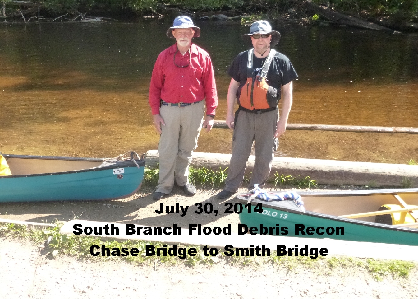
BRCS
South Branch AuSable River
Large Debris Report
July 30, 2014
Today we found 7 peices of large debris.
All will be reasonably easy to remove from the river except the 6th one which is a
There are no major debris pieces below the Chapel.
*********************************************************************
1. - - - - - - - 076*** - - - - - - - - - - - - - - - N44.54529 W84.52675
2. - - - - - - - 077* - - - - - - - - - - - - - - - N44.55381 W84.51408
078 N44.55485 W84.51262
079 N44.55870 W84.51123
3. - - - - - - - 080** - - - - - - - - - - - - - - - N44.55973 W84.51060
081 N44.56001 W84.51062
CASTLE 082 N44.56315 W84.50646
4. - - - - - - - 083* - - - - - - - - - - - - - - - N44.56345 W84.50538
The first 4 can be taken out at the Castle and taken in a trailer from there.
084 N44.56531 W84.49669
085 N44.56426 W84.49057
5. - - - - - - - 086* - - - - - - - - - - - - - - - N44.56297 W84.48651
6. - - - - - - - 087***** - - - - - - - - - - - - - - - N44.56155 W84.48379
088 N44.56344 W84.47931
7. - - - - - - - 089** - - - - - - - - - - - - - - - N44.57267 W84.47996
CHAPEL 090 N44.57789 W84.47847
Road to Chapel Area on West side of river - 44.578255, -84.479629 or 44.578193, -84.479543
Chapel Outhouse N44.57798 W84.47742
NOTE: THERE IS NO MAJOR DEBRIS DOWNSTREAM OF THE CHAPEL
091 N44.58441 W84.48201
092 N44.58807 W84.48047
093 N44.59015 W84.47887
094 3N44.61453 W84.45604
These are from djf's GPS:
Chapel N44.57799 W84.47847
Chap OH N44.57798 W84.47742
Legend:
1 Star = Easy
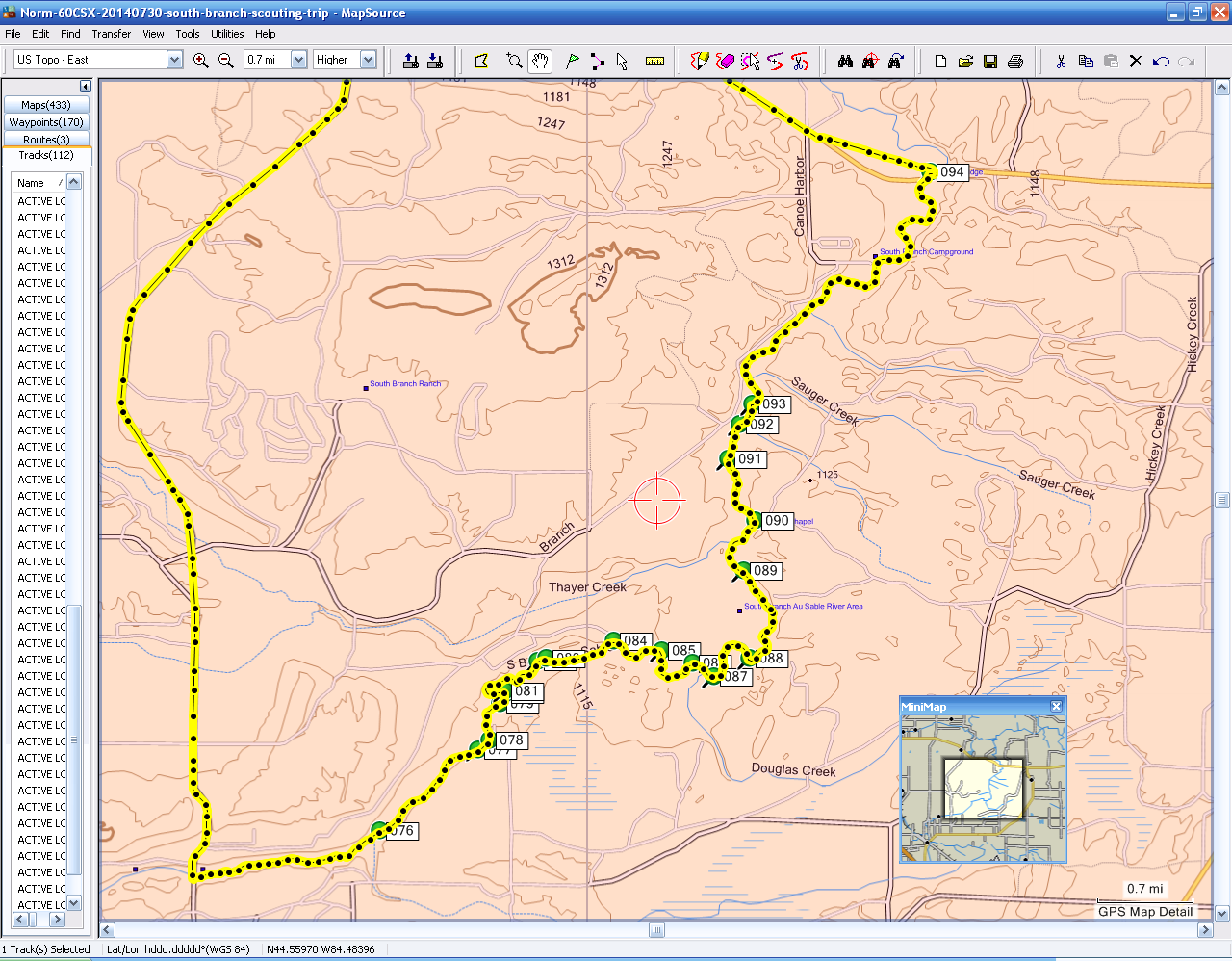
Here is the MAP to all the numbered locations we marked.
Here is the photo GALLERY from this Recon Trip
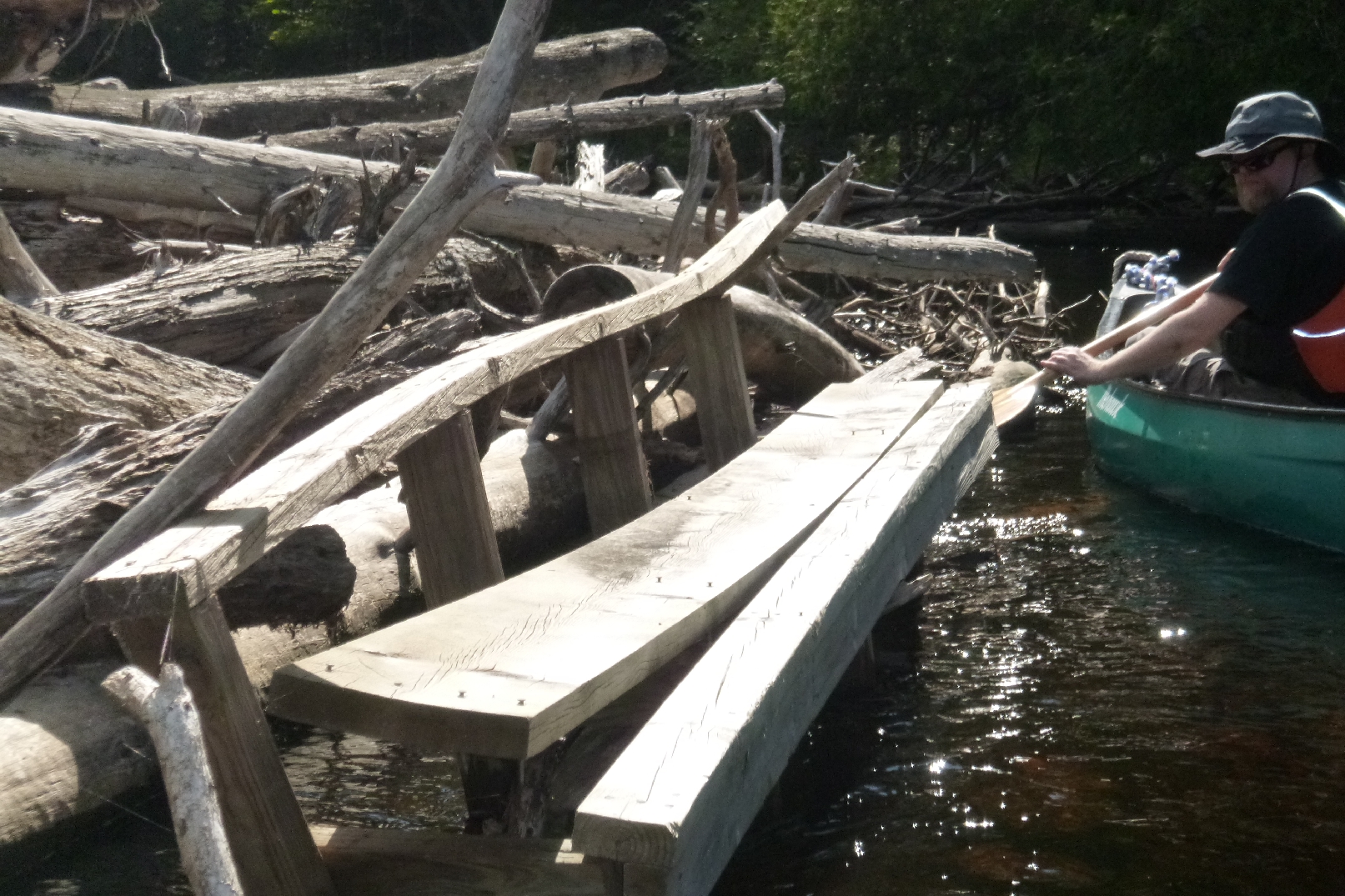
very heavy and large DNR deck structure from the Castle. It is a double thick structure
with rounded fence posts for internal supports and has heavy metal brackets on the corners.
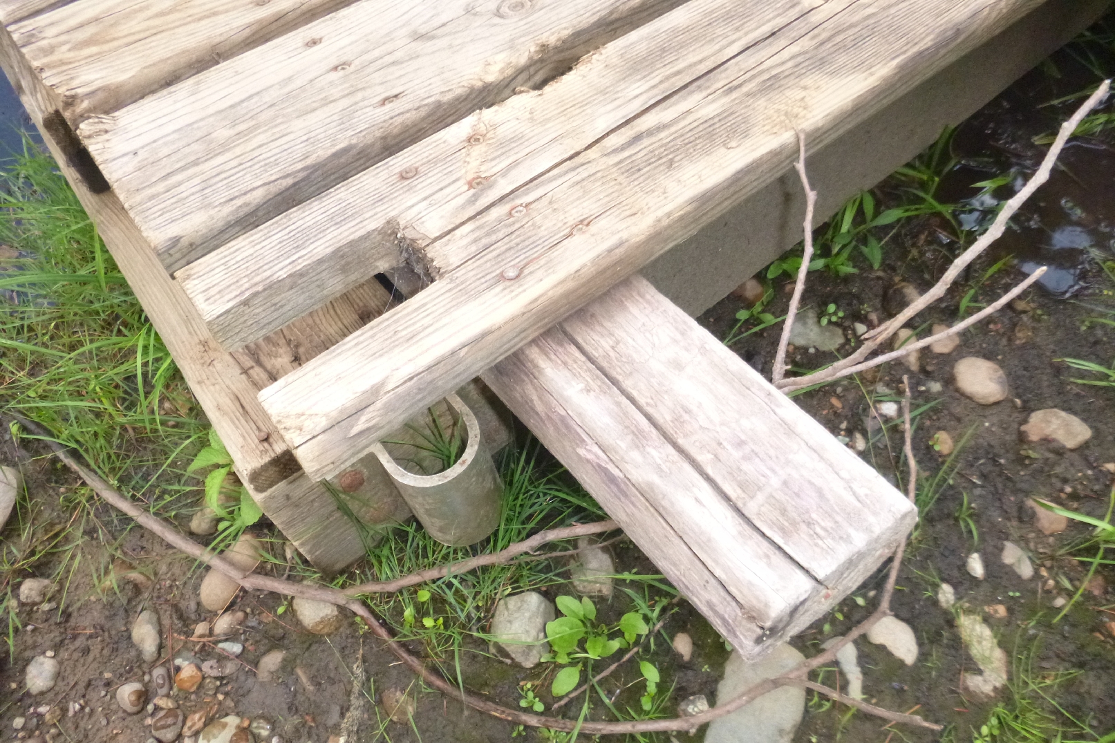
Large Bench with Nails - Tight - Extra wood on left - small
1 - 8 foot - 2" X 6" + 4 X 4 - With Nails and screws - Small - Loose
No Photos of this very small one
Willow Rd Access - River Right - Steep Bank - Met kids
Access - River Left - 100 feet upstream of these coordinates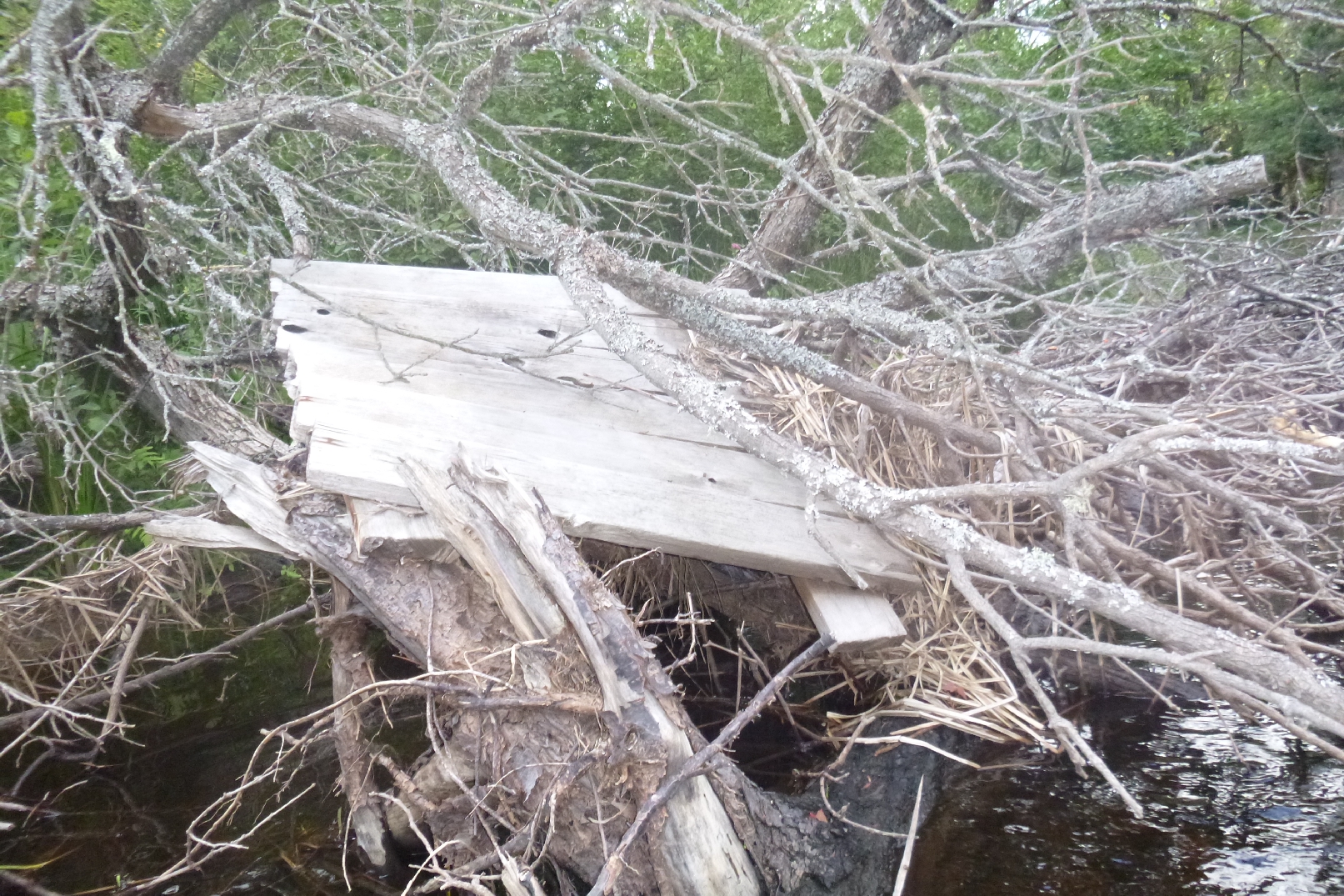
Small Dock - Tight - River Left
Big Fishing Access Site - River Right - Lunch - Trails up to a road?
Castle Dock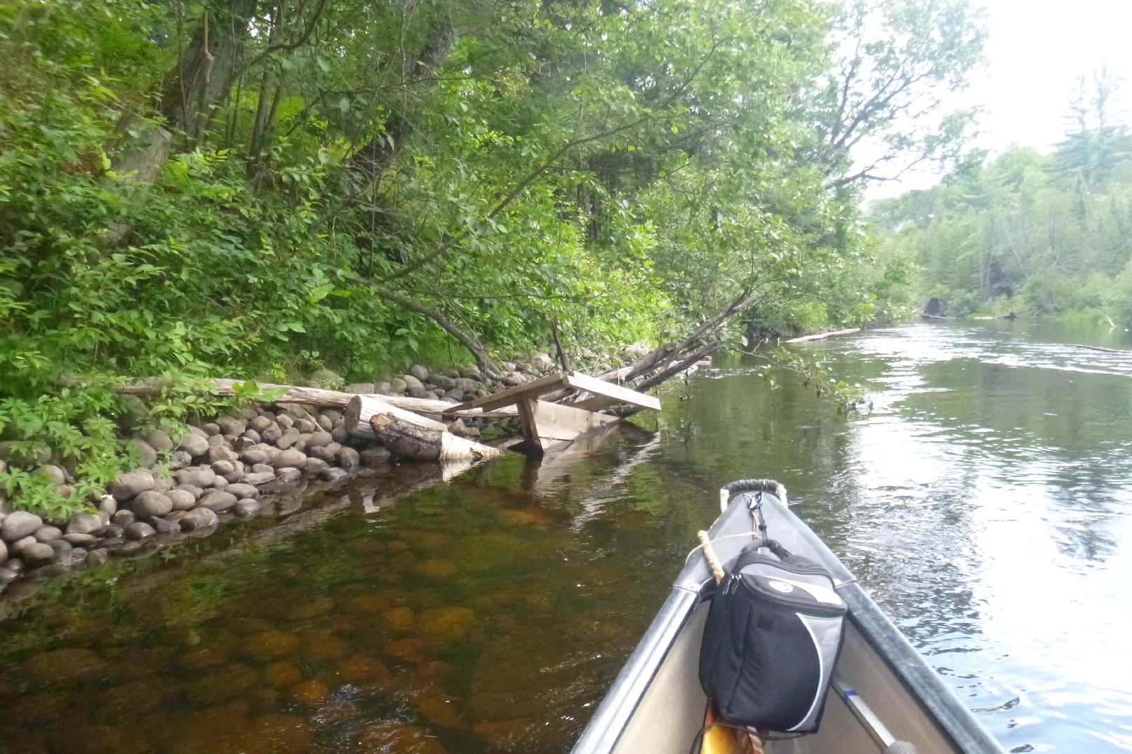
Bench - Just below Castle - Can be walked back upstream to Castle Dock.
Fishing Access River Left - Long Steps
Fishing Access - River Left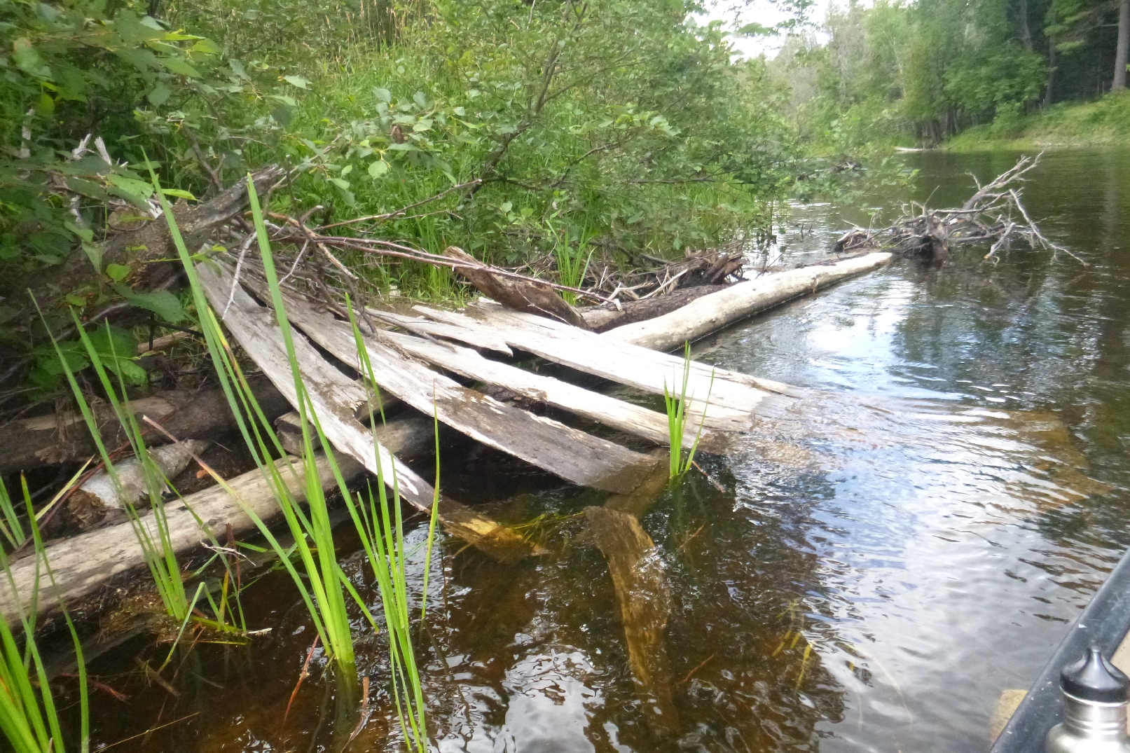
Old Dock - Rotted - River Right
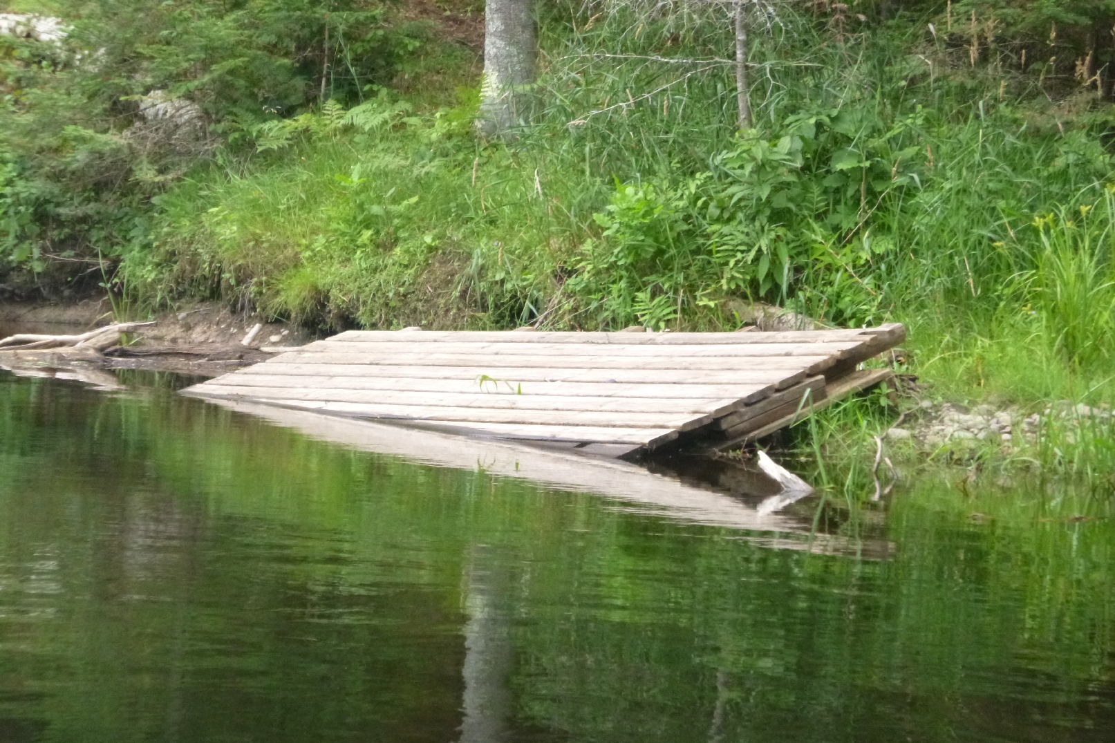
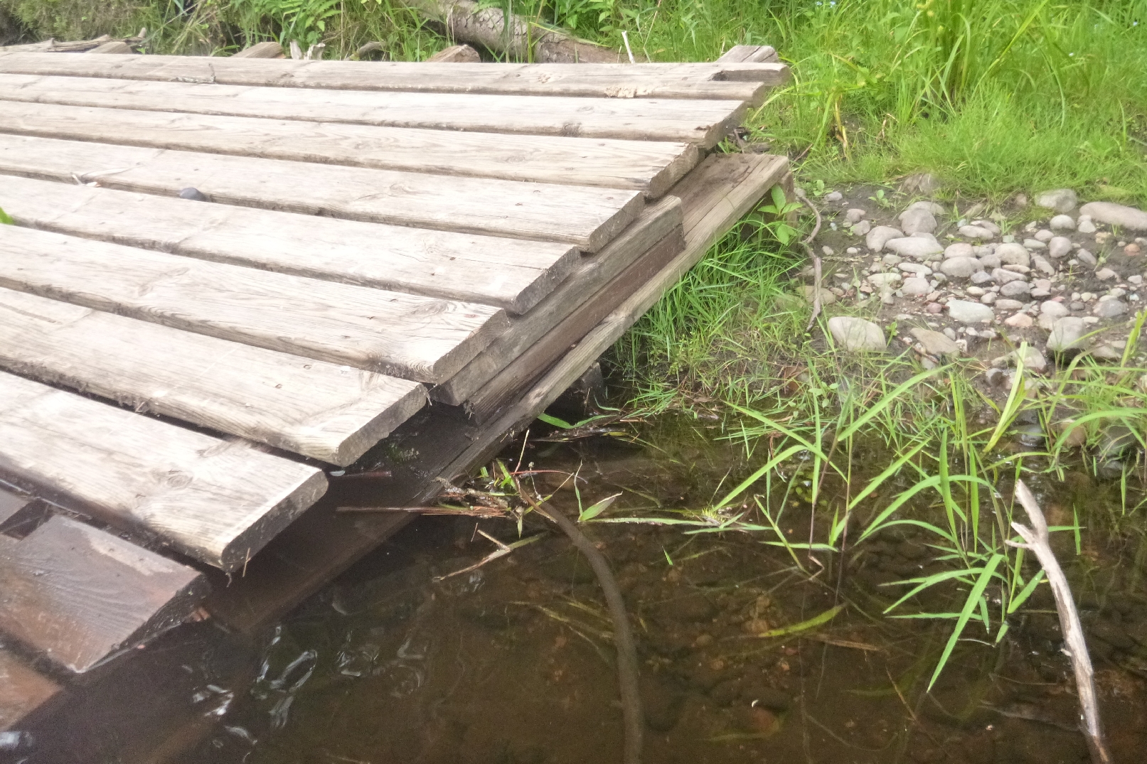
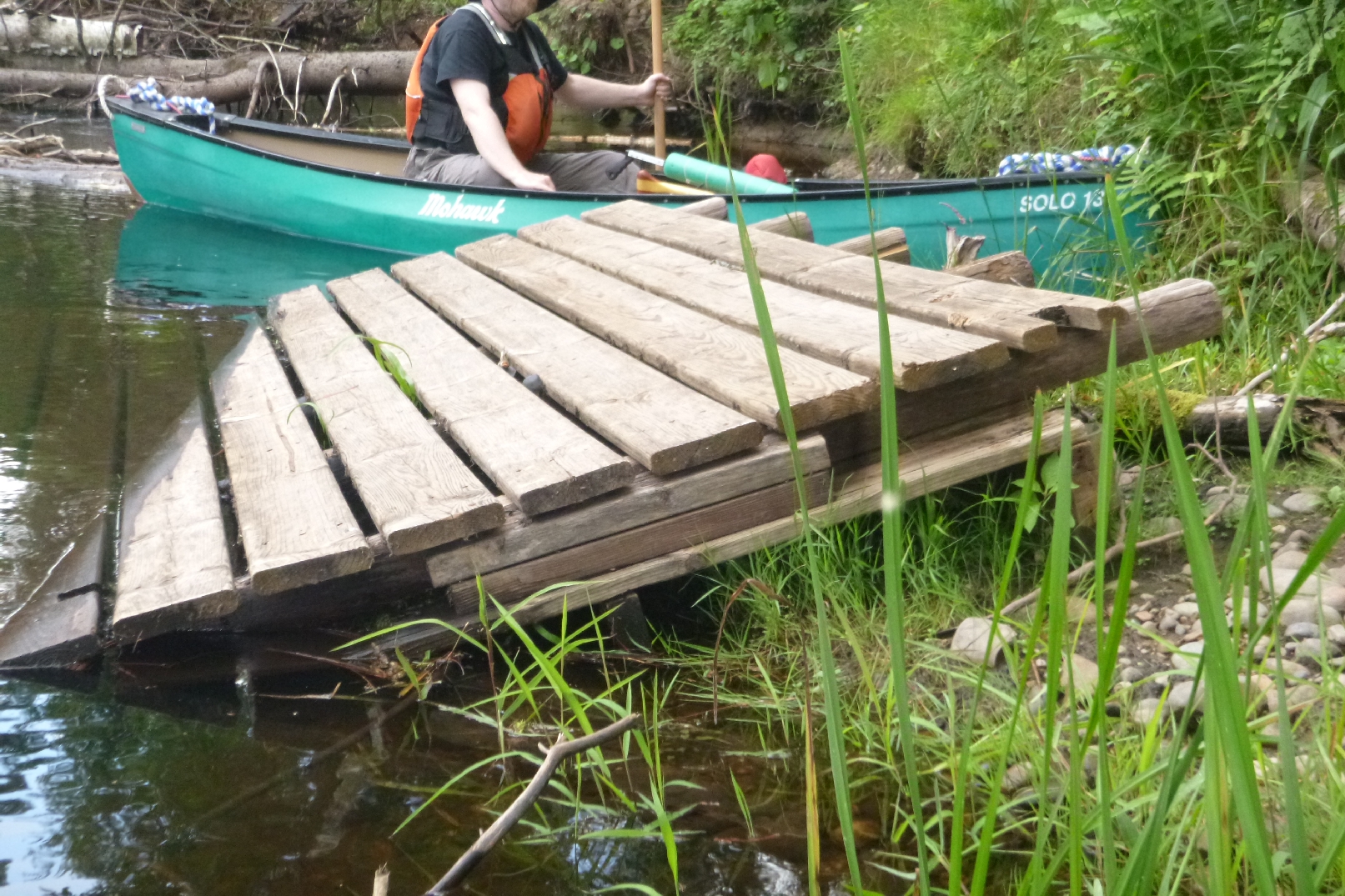
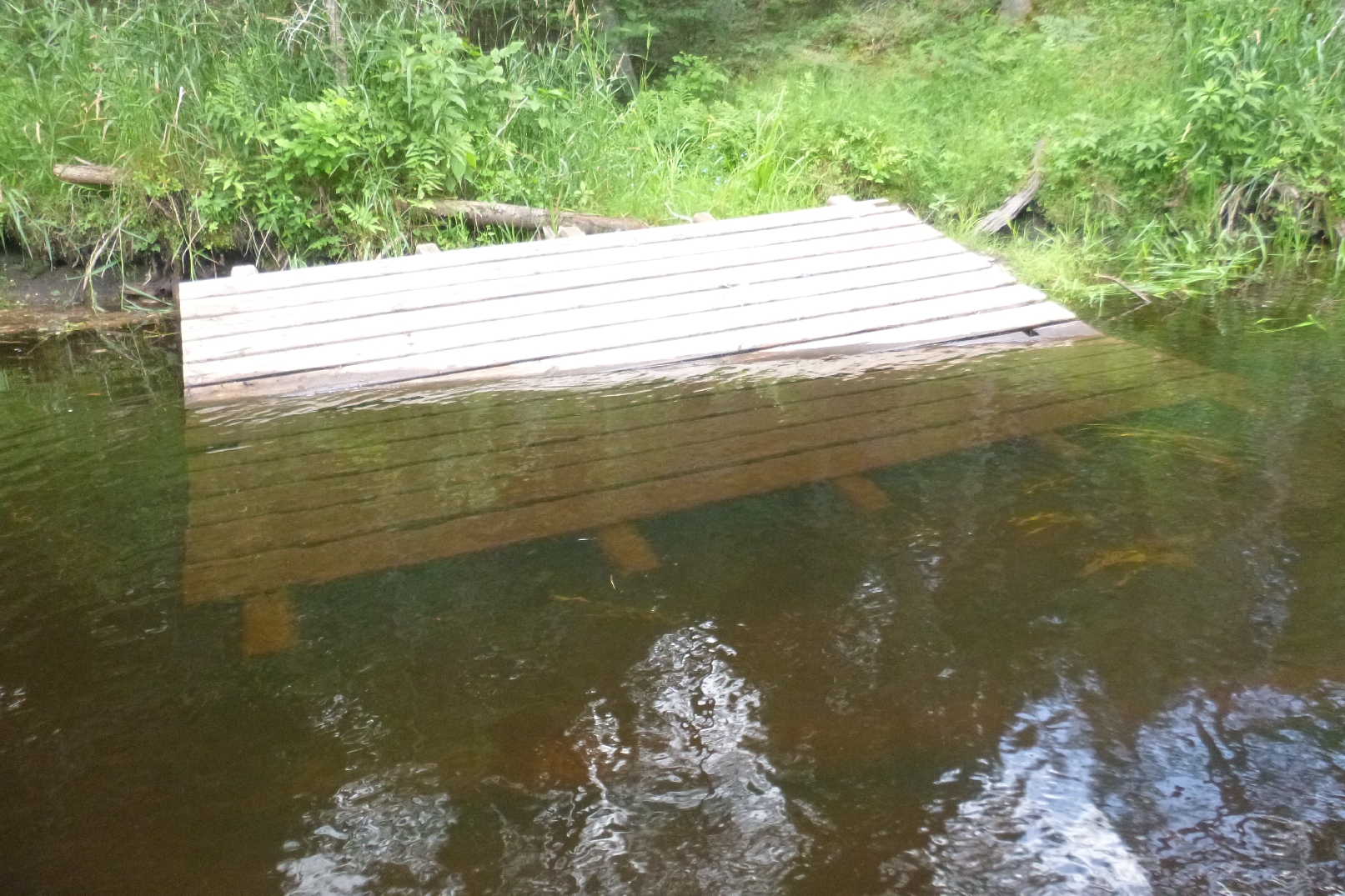
10' X 12' Double thickness dock platform from Castle - Massive - Heavy
River Right - Loose - Sitting on shore - In very remote area
This one could weigh 600 pounds.
Narrow river path just down stream.
Possible Fishing Access - River Right
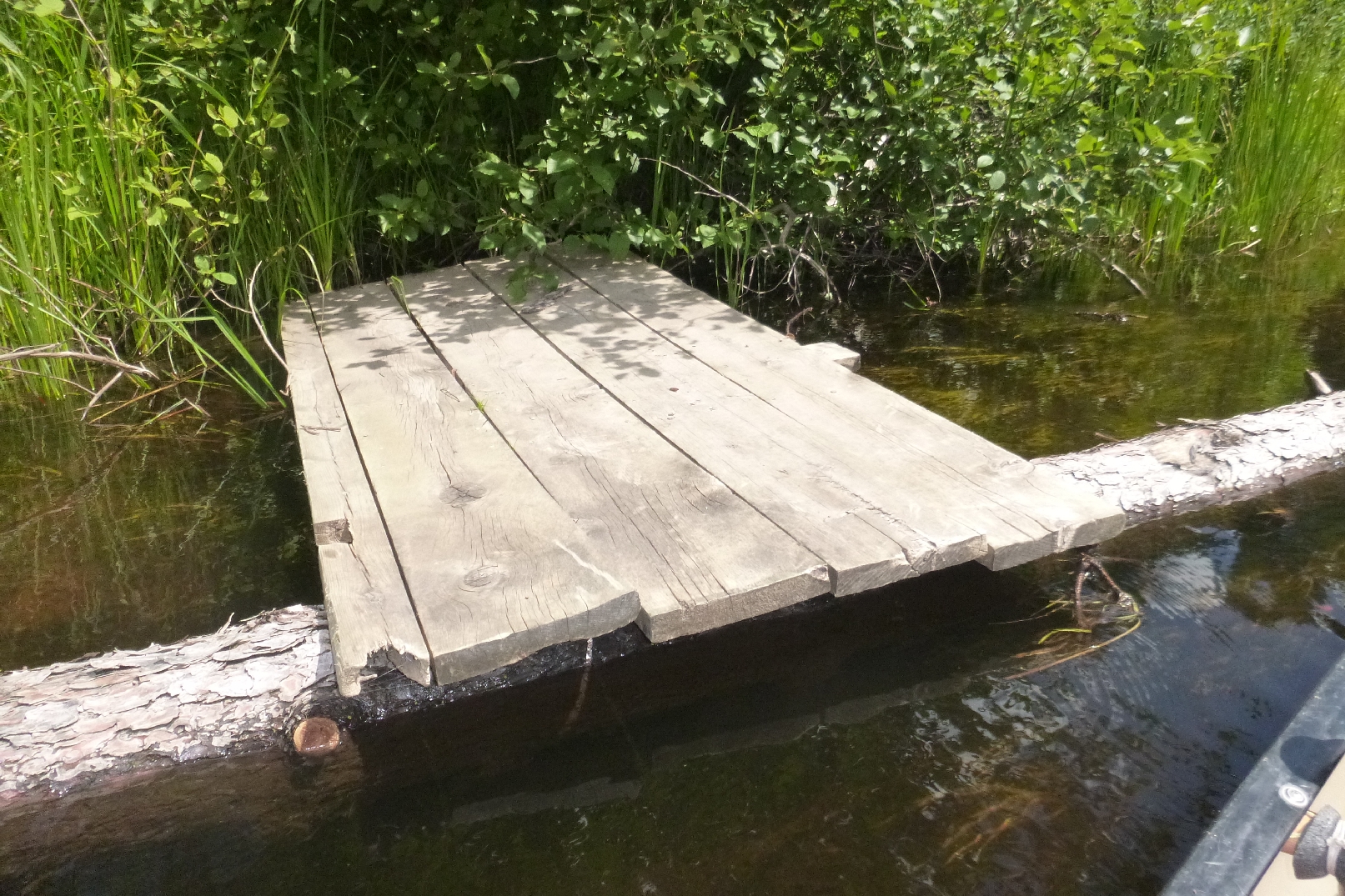
Heavy Dock Section - 5 big 2 X 6 boards and 4 X 4s - Loose
Chapel Dock - Steep Steps
Near Possible Road
Fishing Access with Steps - River Left - Bad blockage at river
Fishing Access AREA - Up and Down Stream - River Left - @ Large Bridge Abutment
Fishing Access River Left - Mucky - small opening
Smith Bridge - Take out - Landing
5 Stars = Extremely difficult
Chairman - Boardman River Clean Sweep
10422 Peninsula Dr. - Traverse City, MI 49686
231-947-2852
Return To The Main Page
This page Copyright © 2014 - Norman R. Fred & BRCleanSweep.org